
GeoPDF MAPS
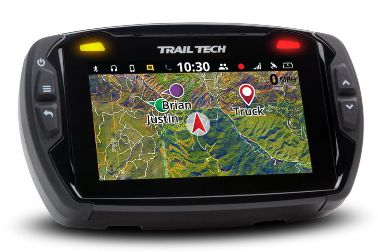
Load custom GeoPDF maps directly into Voyager Pro
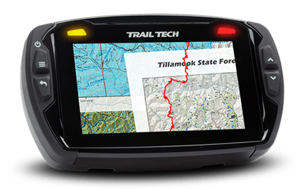
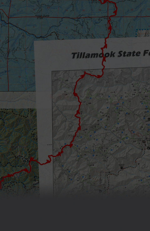
Find GeoPDF files around the internet (or make your own) and import them to Voyager Pro using the MicroSD card. Voyager Pro will handle the conversion, warping the GeoPDF to fit perfectly on the Voyager Pro map screen.
This is mapping made easy!
CUSTOM MAPS VIDEO OVERVIEW
MAPS MADE EASY
Import GeoPDFs direct to the Voyager Pro GPS map screen. It's like using your favorite paper map with map legends, call outs, and ride area details directly on your display.
Planning on going snow biking? Load the local snow map showing ride area details with boundaries. Planning your next overlanding trip in a new area? Load your favorite land usage maps. Wanting to have some Geocaching fun? Select the best map for your adventure. The custom map possibilities are endless, capped only by your ability to find GeoPDF maps on the internet or the skills to make your own.
Your next adventure begins here.
What is a GeoPDF?
GeoPDF files are like regular PDF files, except they also have "geospatial information" encoded. The file knows it's coordinates, so the corners can be pinned to an interactive map and placed at the correct location in the world.
GeoPDF LINKS
Find interesting links to GeoPDF tools and files for specific locations. This curated list only scratches the surface of what is available on the internet.
GEOPDF MAPS ARE AVAILABLE FROM A VARIETY OF SOURCES AROUND THE WEB:
- CALTOPO.COM (online app for map customizing with MBTile and GeoPDF exports
- https://caltopo.com/
- Add map sheets: https://training.caltopo.com/all_users/mapsheets
- GeoPDF export: https://training.caltopo.com/all_users/print/pdfprint
- USGS government maps (premade GeoPDFs of the United States)
- USGS Topographic Map: https://ngmdb.usgs.gov/topoview/viewer/#4/40.01/-100.06
- USGS National Map: https://apps.nationalmap.gov/viewer/
- https://store.usgs.gov/maps
- BLM
- ArcGIS (variety of desktop and cloud app possibilities for technical users)
- QGIS (highly technical applications for creation and publishing of geospatial information as GeoPDFs. There is no cap on what can be achieved)
- From ADV Rider
GEOPDF MAPS FOR SPECIFIC AREAS:
- IDAHO
- OREGON
- WASHINGTON
- CALIFORNIA
- MINNESOTA
- WYOMING

IMPORTING GEOPDF MAPS
STAY UP TO DATE
- Download the current Voyager Pro software update here (free) - Software Update
- Load new software onto Voyager Pro GPS - how to video link
INSTRUCTIONS FOR CREATING MAPS AT CALTOPO.COM
INSTRUCTIONS FOR CREATING MAPS AT CALTOPO.COM
